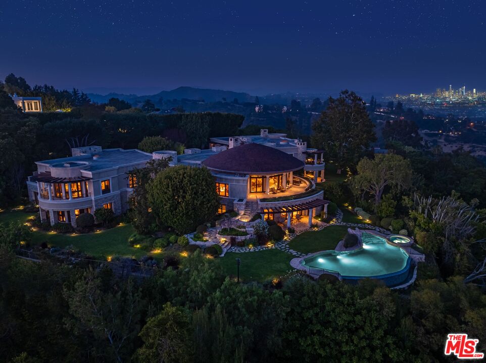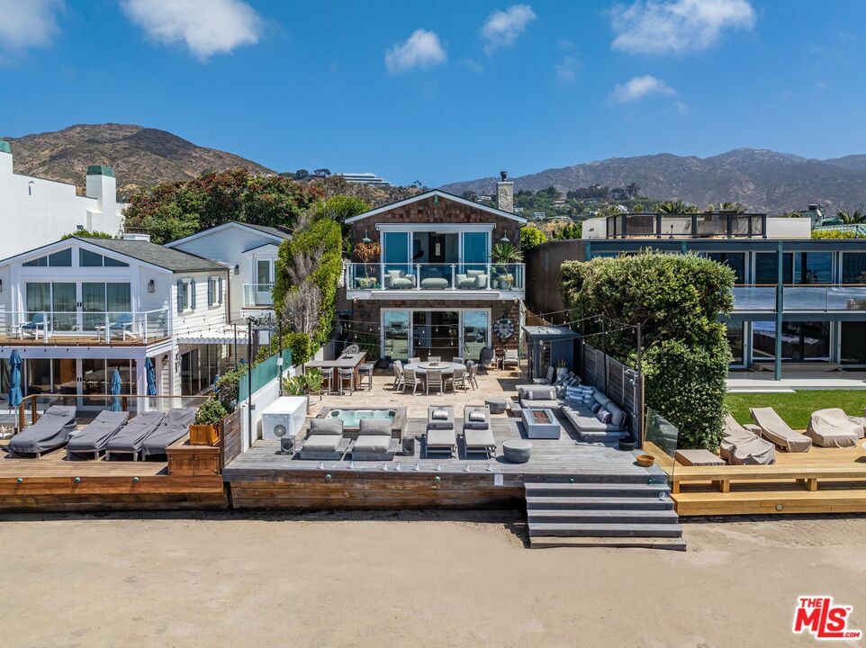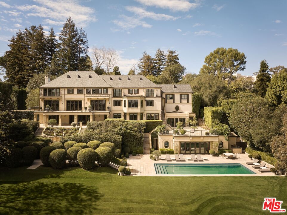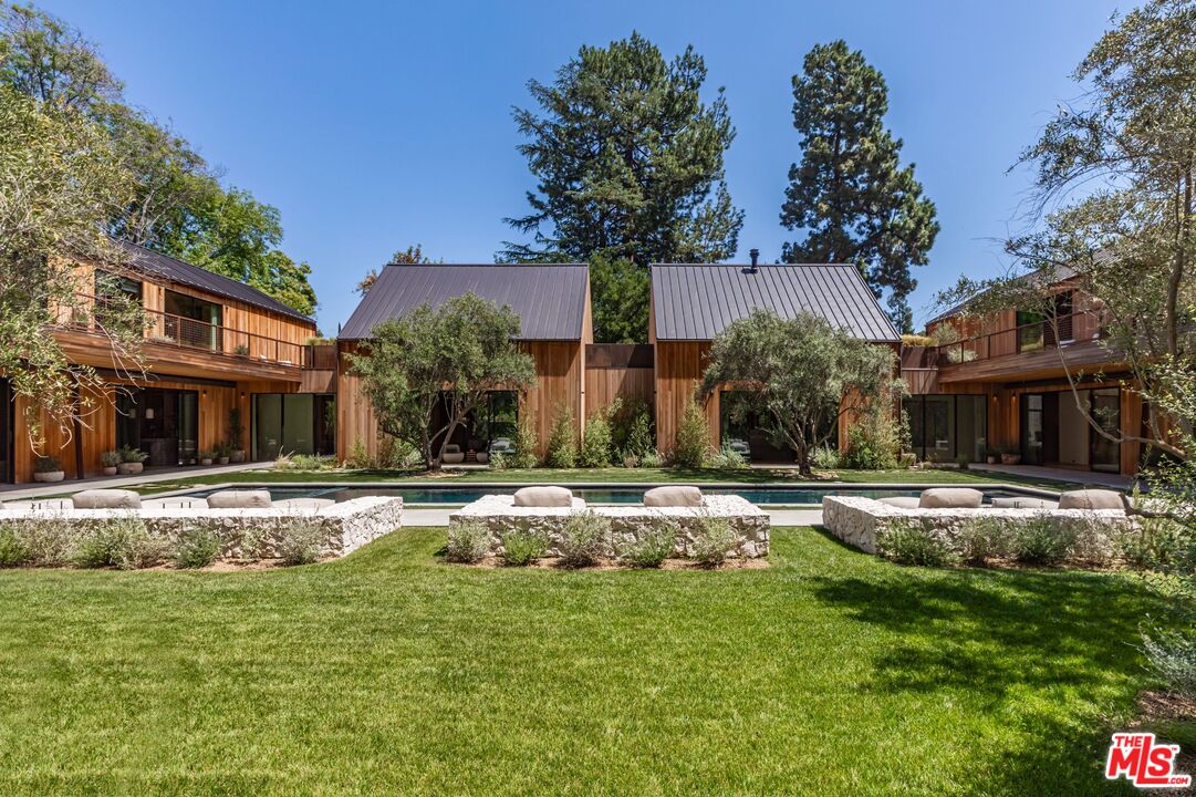
Welcome to
Explore Brentwood, Los Angeles Real Estate
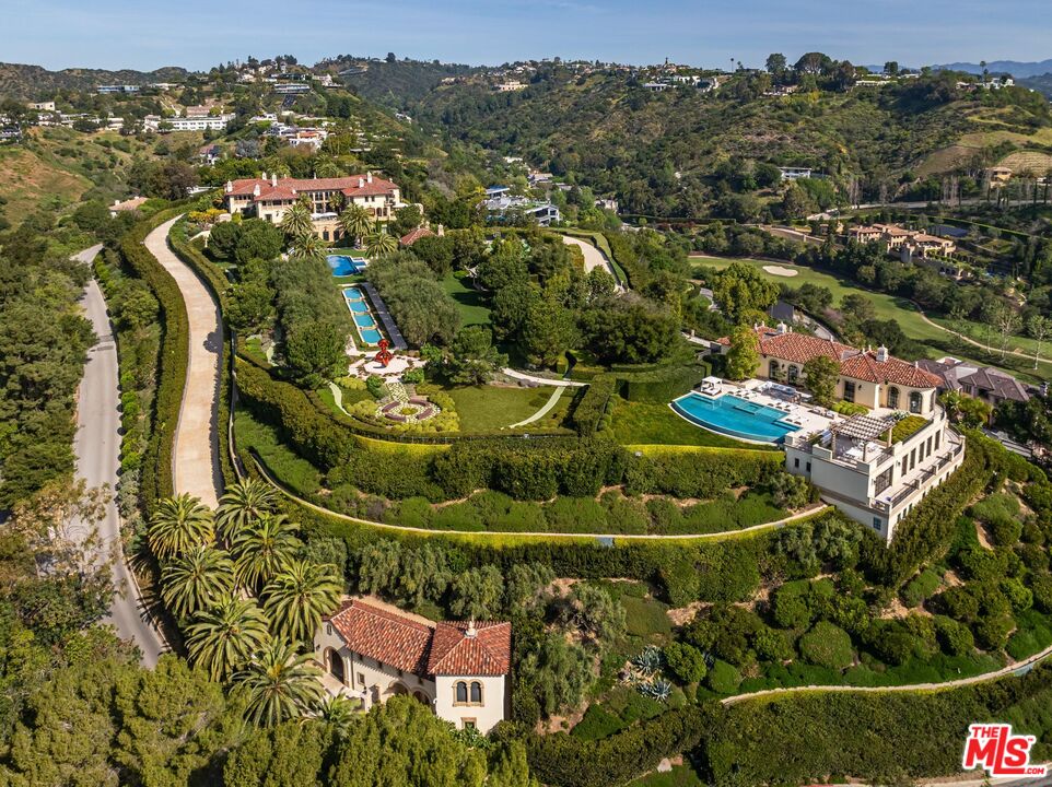
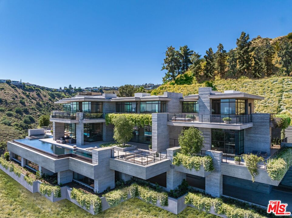
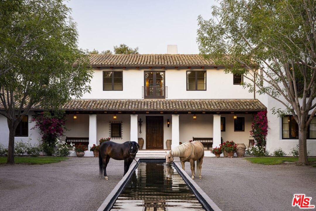
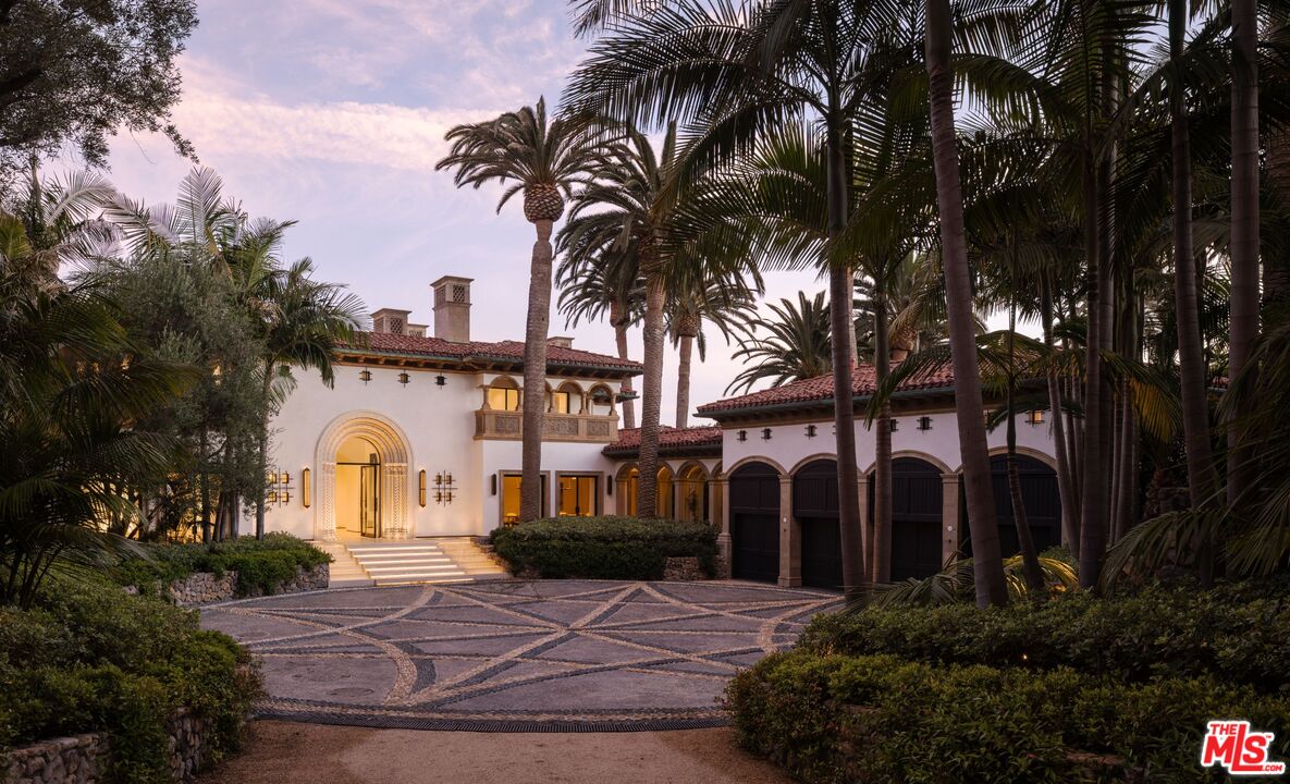
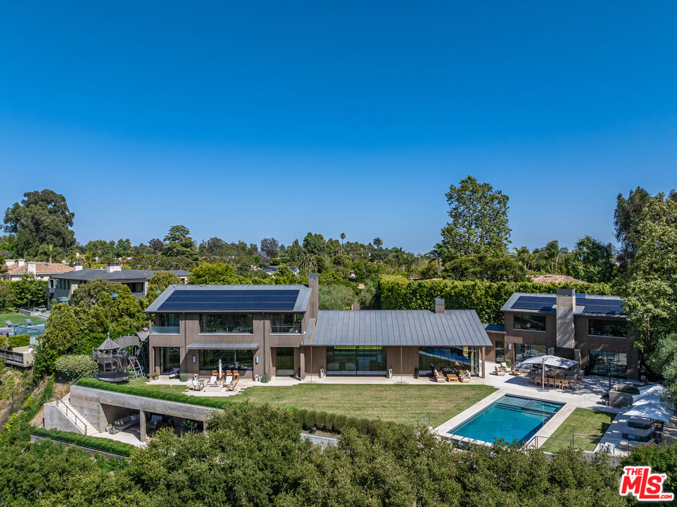
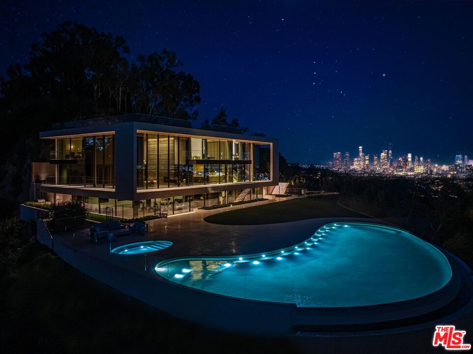
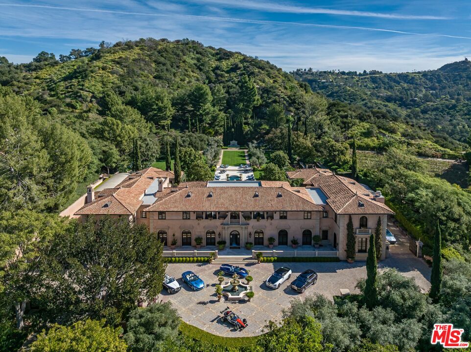
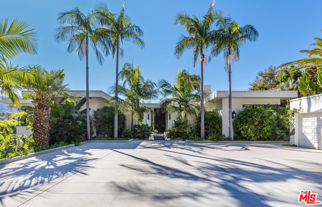
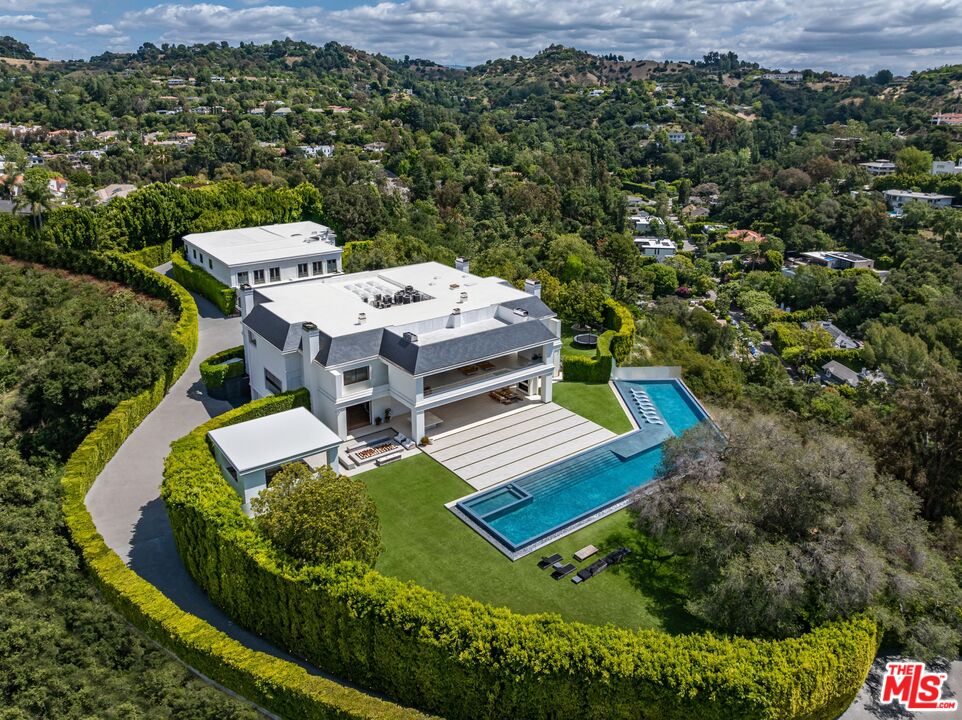
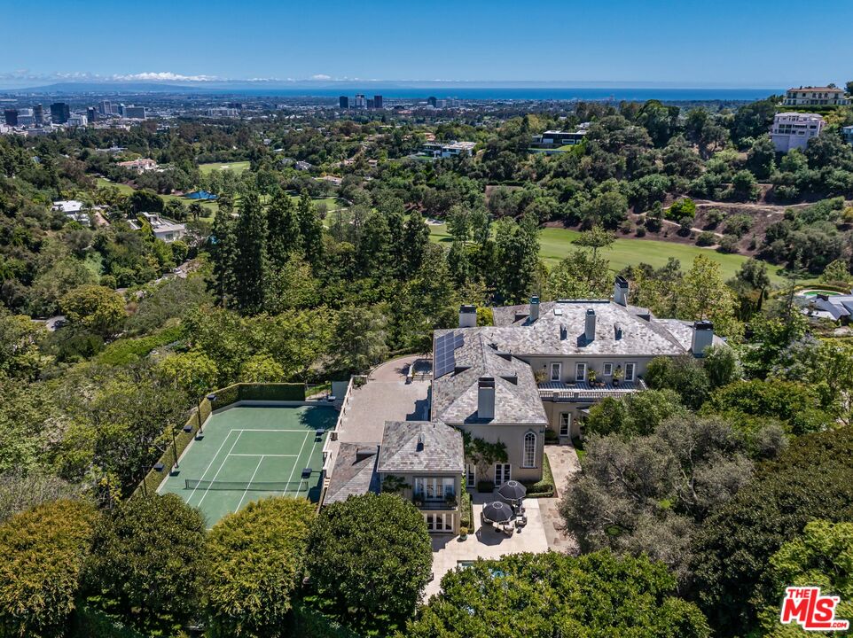
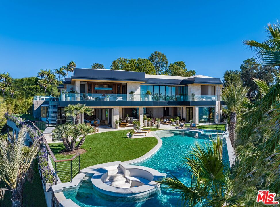
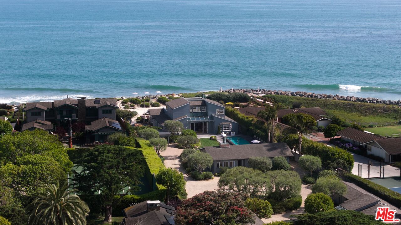
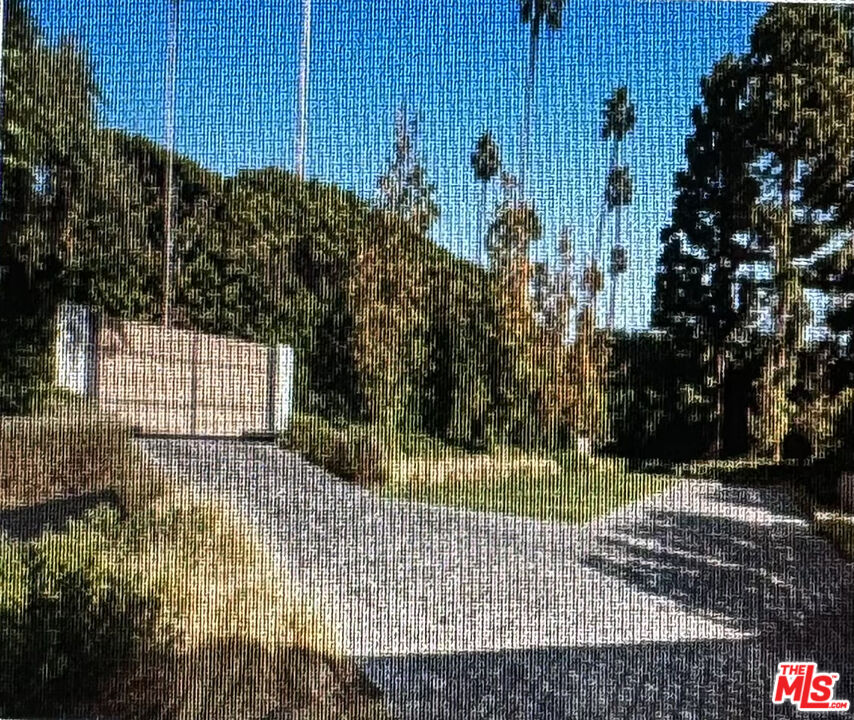
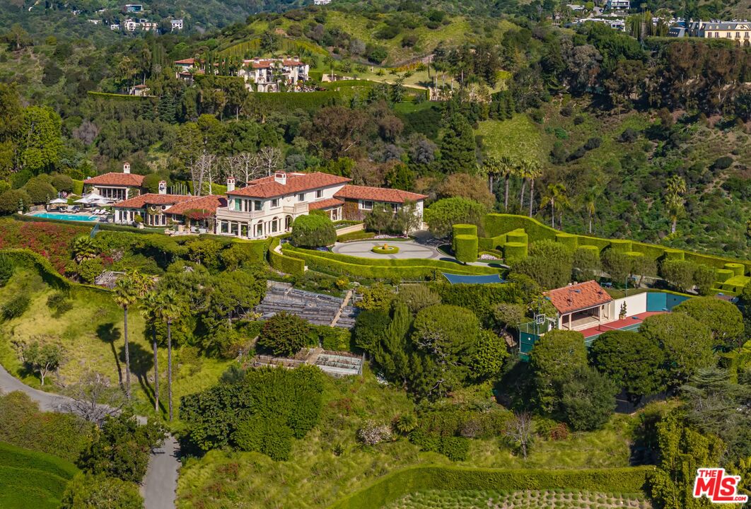
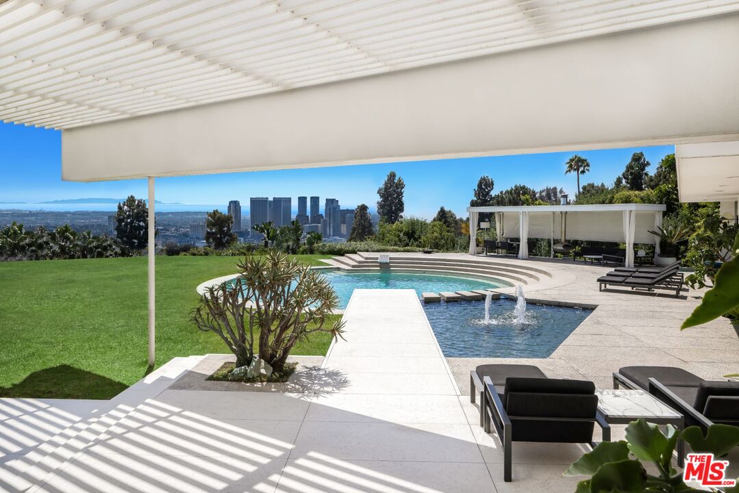
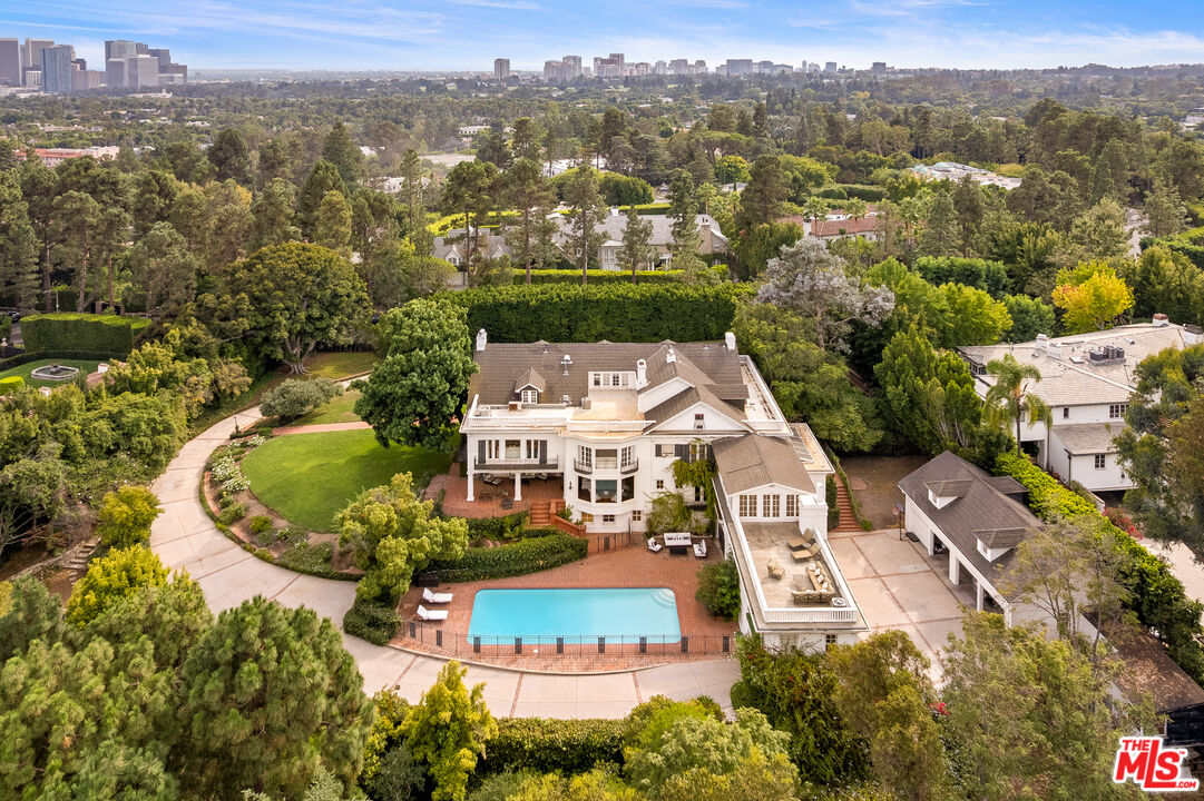
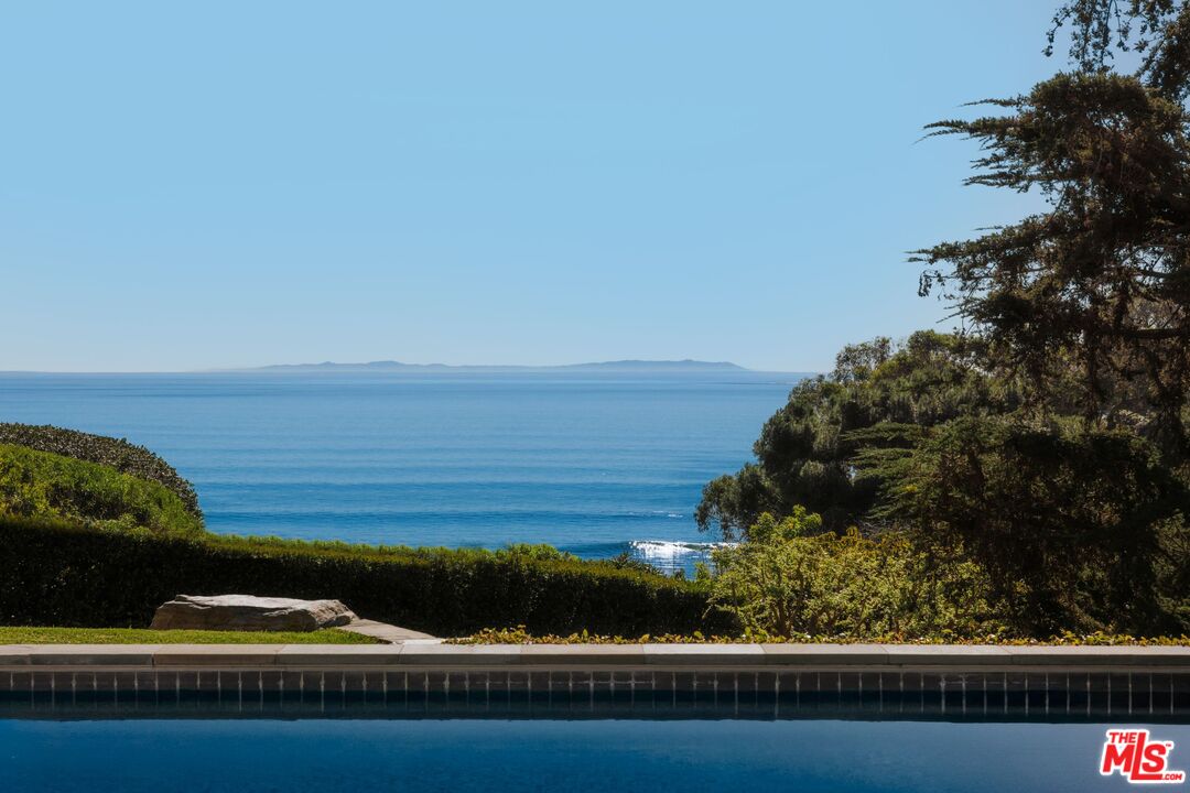
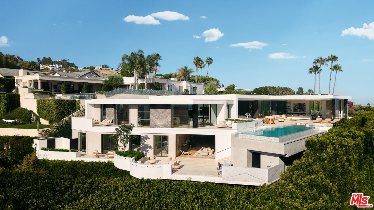
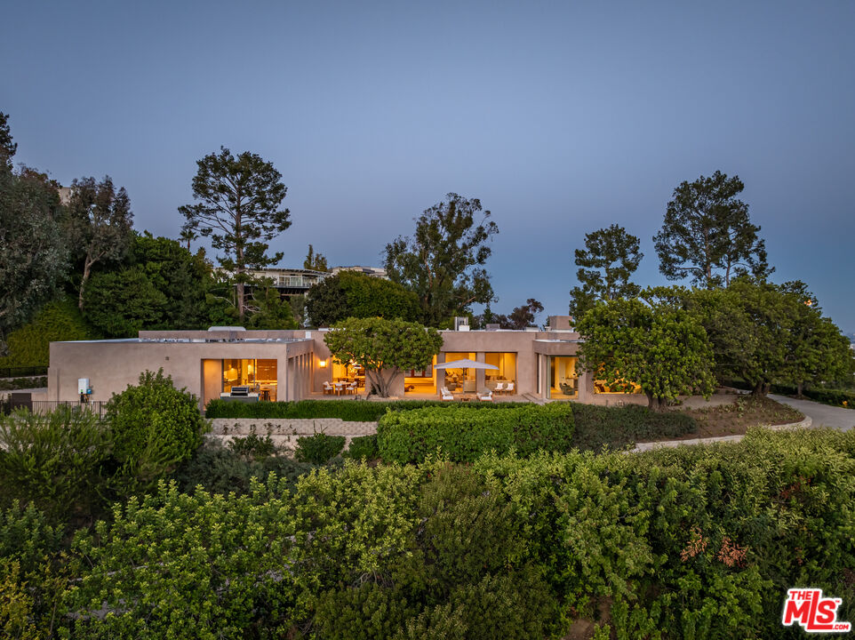
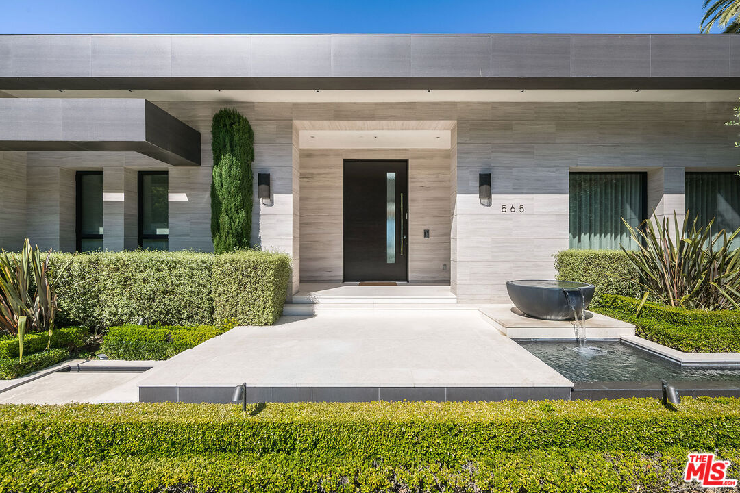
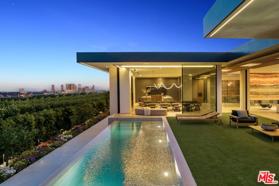
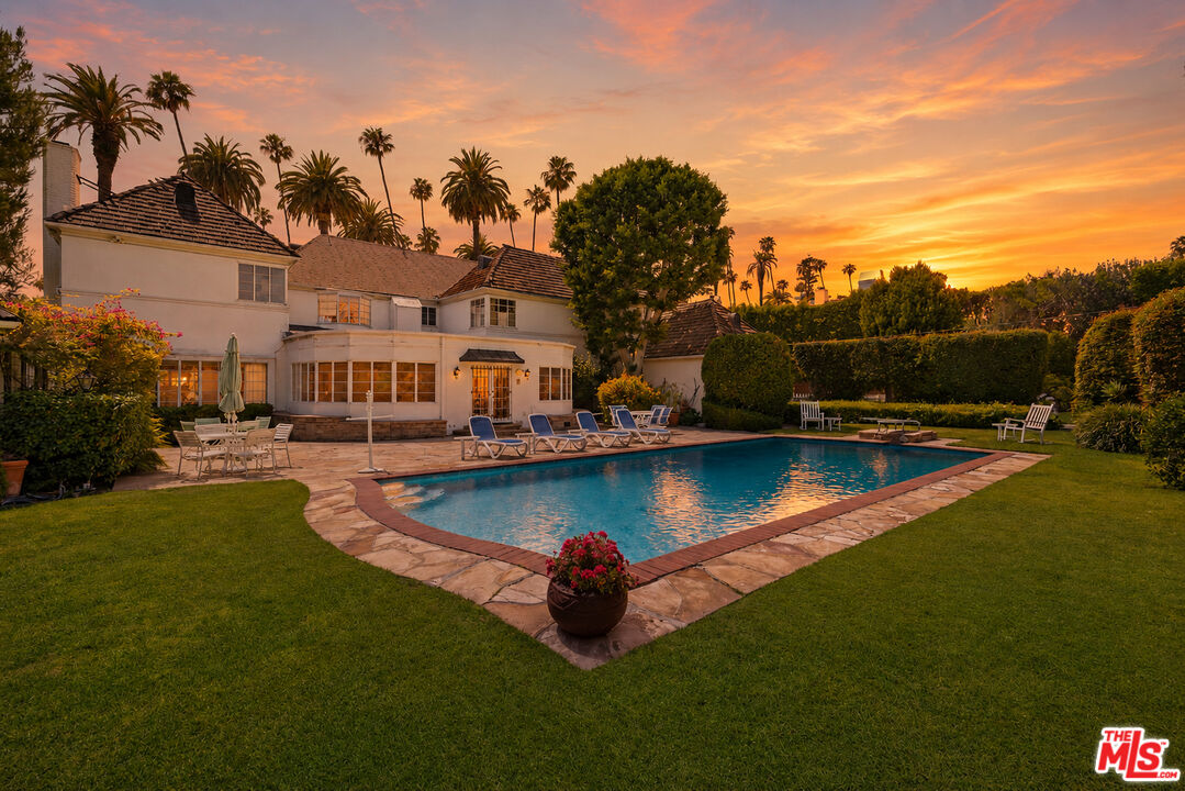
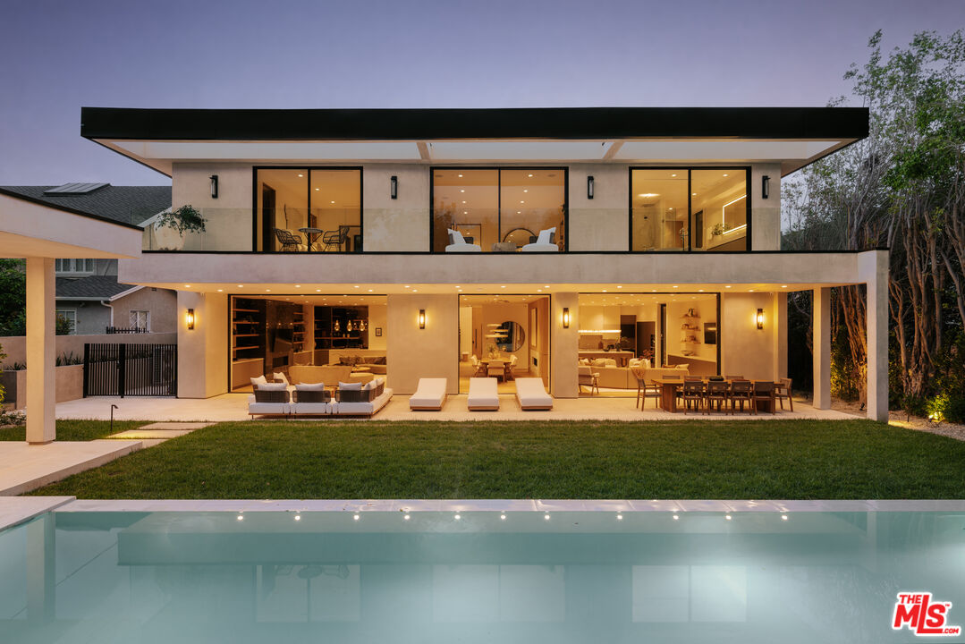
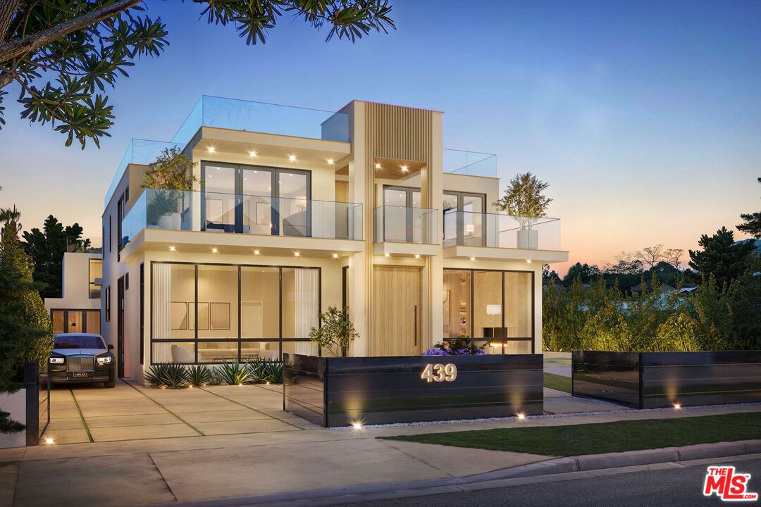
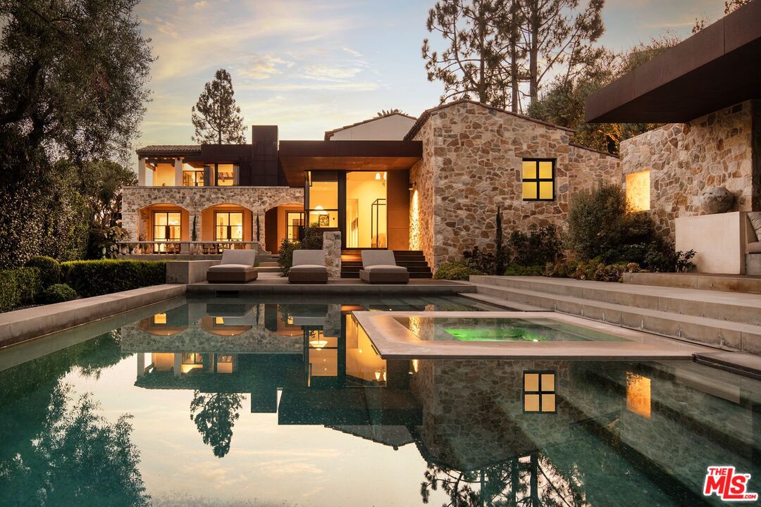
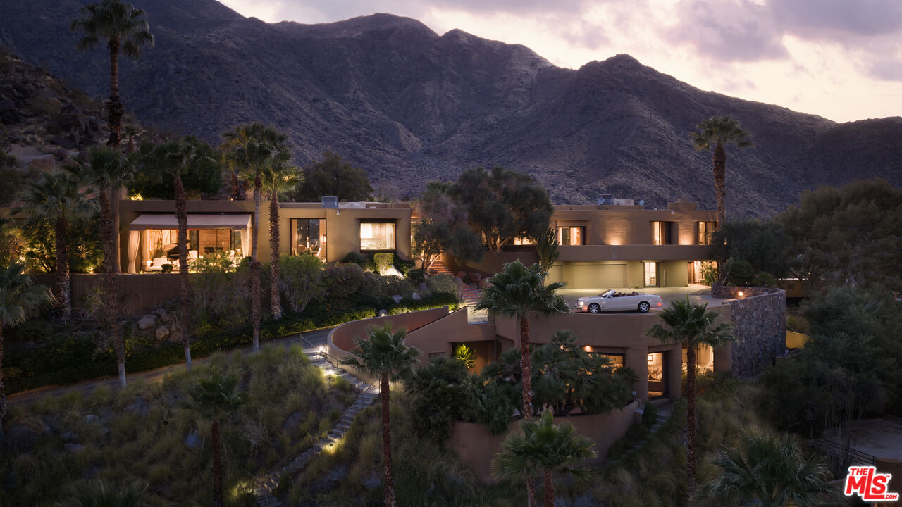
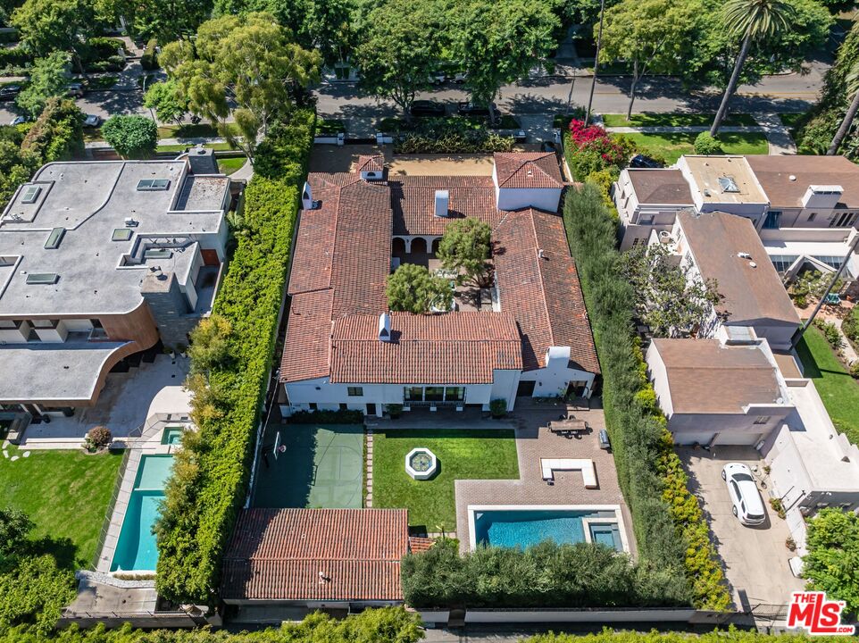
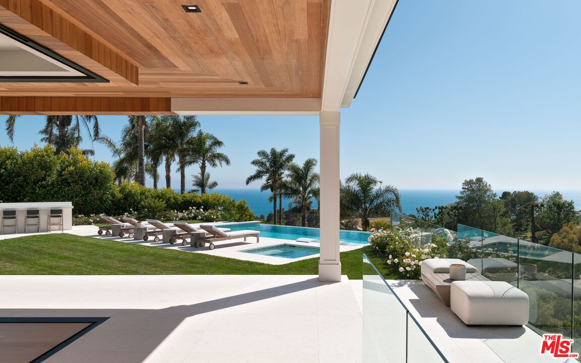
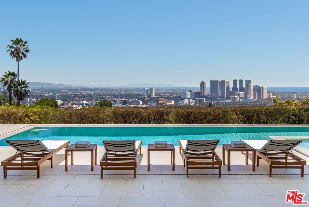
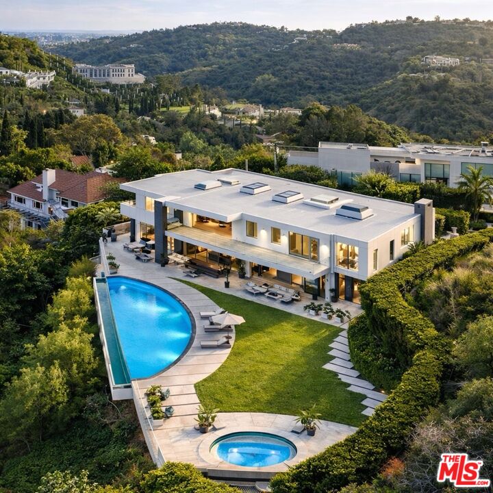
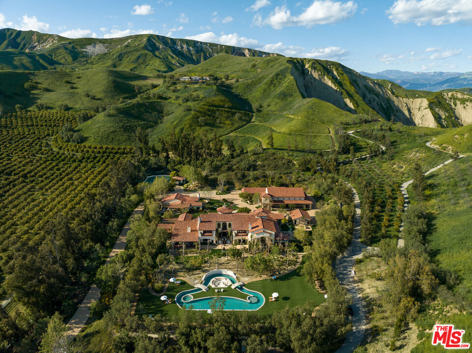
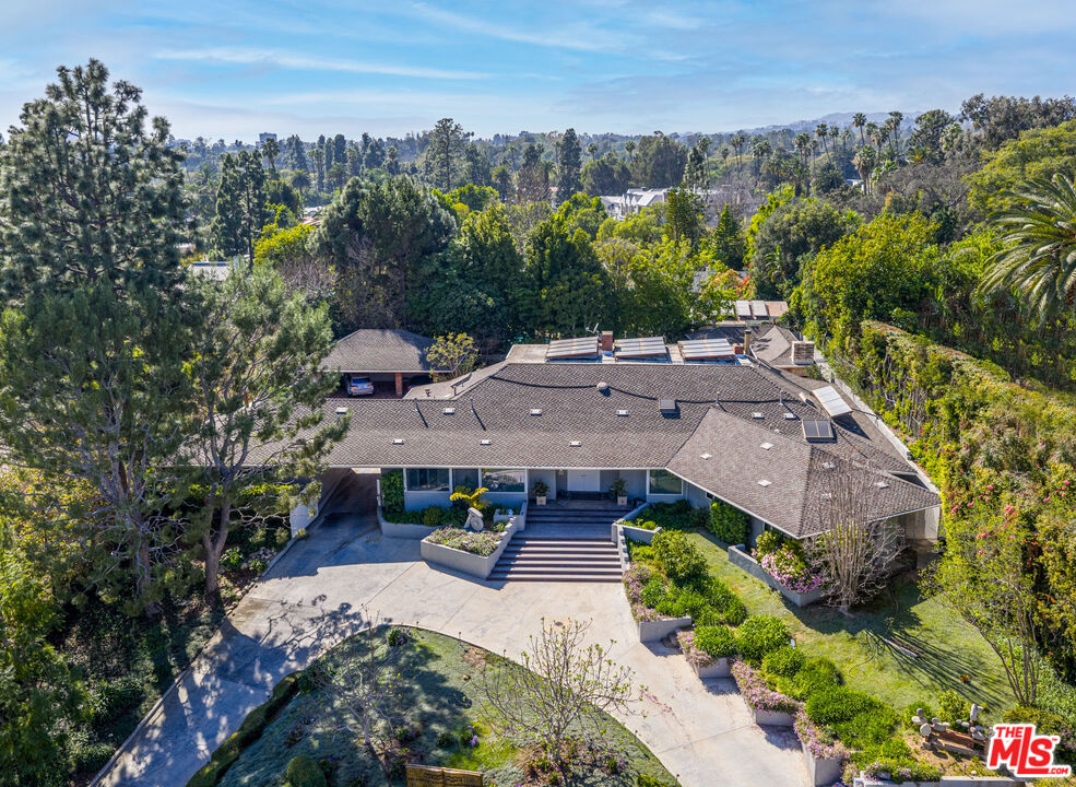
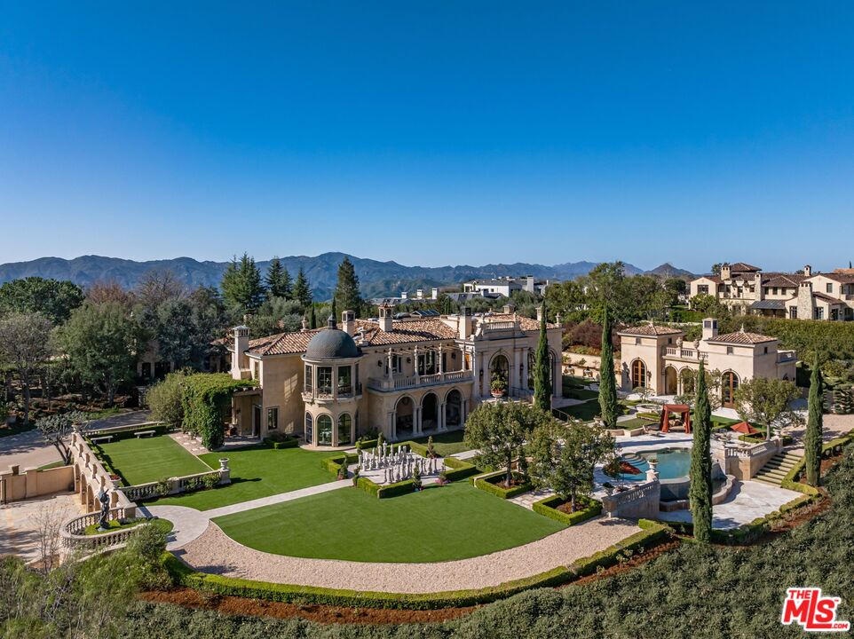
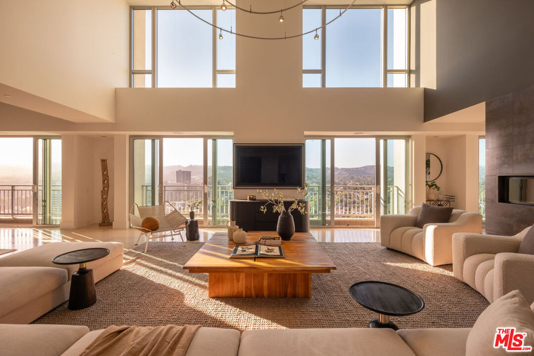
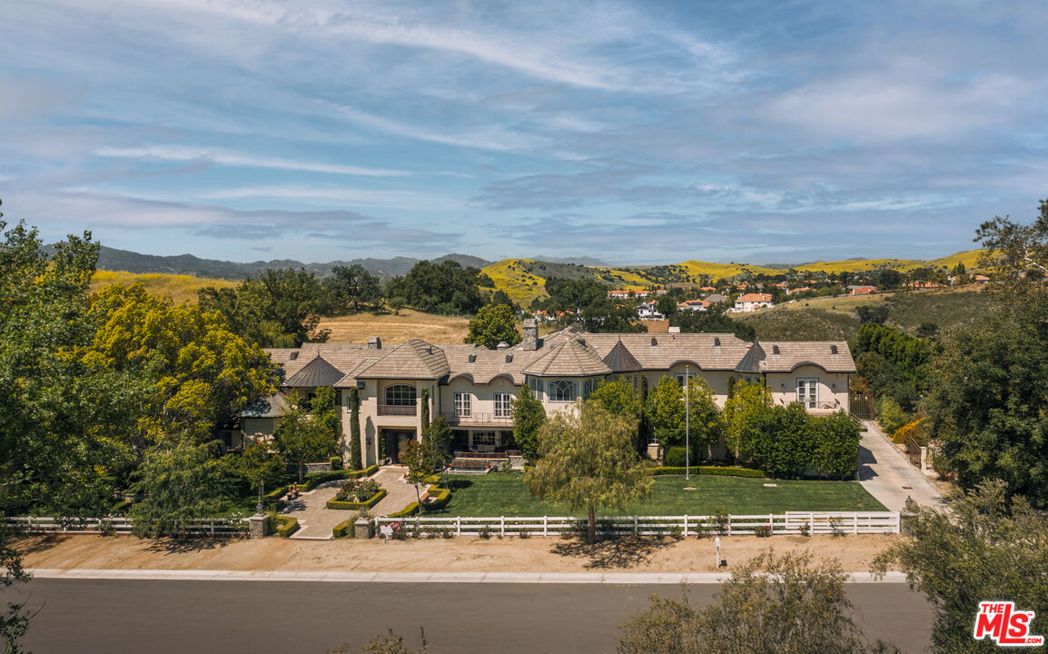
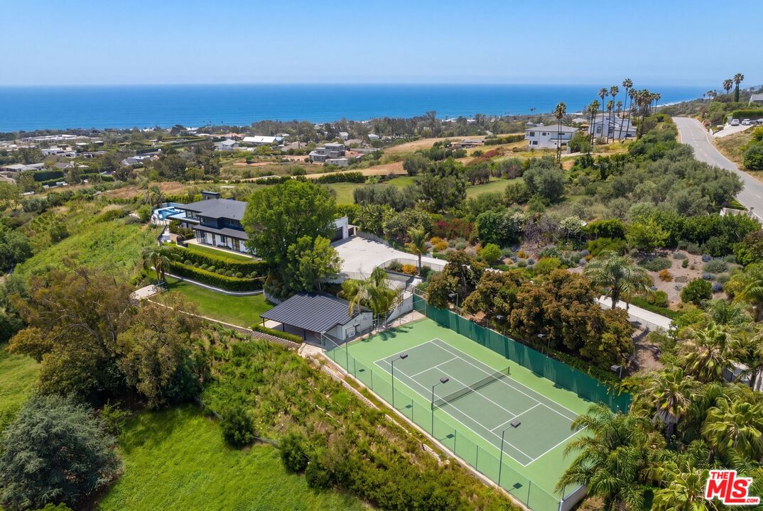
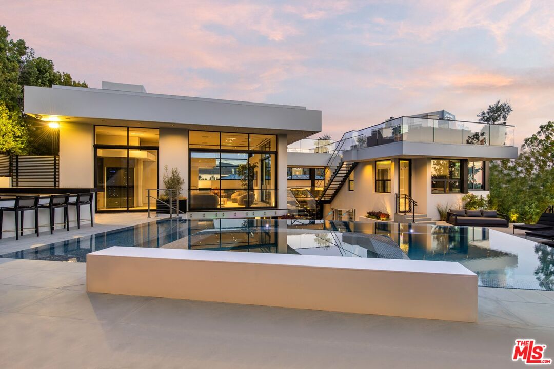
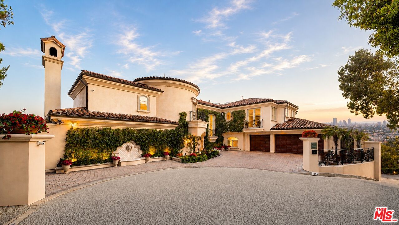
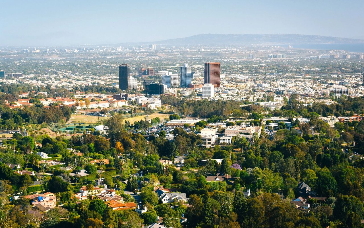
With its coral tree-lined streets, upscale shops and eateries, and luxurious homes, Brentwood has long been one of the most desirable communities in all of Los Angeles.
19,736 people live in Brentwood, where the median age is 38 and the average individual income is $77,801. Data provided by Statistics Canada.
Total Population
Median Age
Population Density
Average individual Income
There's plenty to do around Brentwood, including shopping, dining, nightlife, parks, and more. Data provided by Walk Score and Yelp.
Explore popular things to do in the area, including Fresh in your Fridge, TAKE URBAN, and T-shirt.
| Name | Category | Distance | Reviews |
Ratings by
Yelp
|
|---|---|---|---|---|
| Dining · $$ | 3.97 miles | 4 reviews | 5/5 stars | |
| Dining | 4.59 miles | 7 reviews | 4.6/5 stars | |
| Shopping | 4.76 miles | 7 reviews | 4.1/5 stars | |
| Active | 3.35 miles | 10 reviews | 4.2/5 stars | |
| Beauty | 3.49 miles | 9 reviews | 5/5 stars | |
| Beauty | 3.26 miles | 6 reviews | 4.8/5 stars | |
|
|
||||
|
|
||||
|
|
||||
|
|
||||
|
|
||||
|
|
Brentwood has 10,213 households, with an average household size of 2. Data provided by Statistics Canada. Here’s what the people living in Brentwood do for work — and how long it takes them to get there. Data provided by Statistics Canada.
Total Population
Population Density Population Density This is the number of people per square mile in a neighborhood.
Median Age
Men vs Women
Population by Age Group
0-9 Years
10-17 Years
18-24 Years
25-64 Years
65-74 Years
75+ Years
Education Level
Total Households
Average Household Size
Average individual Income
Households with Children
With Children:
Without Children:
Blue vs White Collar Workers
Blue Collar:
White Collar:
8878 W. Sunset Blvd., West Hollywood, CA 90069
8878 W. Sunset Blvd., West Hollywood, CA 90069